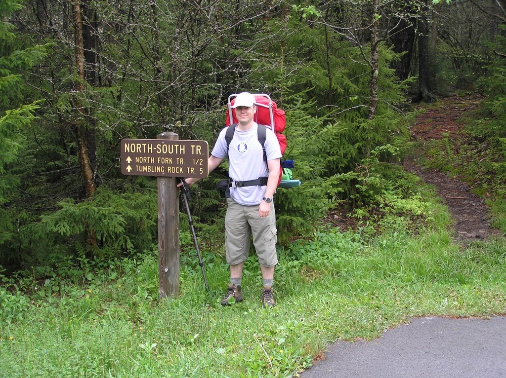
 Last weekend my Dad & I spent 3 days & 2 nights backpacking in the Cranberry Wilderness of WV. We followed a route outlined by mrhyker of http://www.midatlantichikes.com. An outline and description of the route can be found at http://midatlantichikes.com/cranberry1.htm. We had a great time, with nice weather and moderate temperatures. We hiked 24 miles total, taking our time to enjoy the scenery and resting frequently. We camped the first night on the North Fork of the Cranberry just off the North Fork trail. The campsite we choose was approximately 1/3 of a mile NE of the Liming Station, and is marked on the trail map provided by mrhyker. One thing I would like to point out is that the trail sign marking the junction of the Forks Trail with the North Fork Trail is either missing or we passed it without noticing it. The North Fork Trail is in good condition most of the way, with only a couple of blowouts that caused the trail to be re-routed. All of these re-routes are easy to see and are marked clearly with cairns. Also, one ford of the North Fork river was required.
The second day was mostly spent crossing the ridge which divides the Cranberry river and the Middle Fork of the Williams River. After following the Cranberry river down FR76, we ascended the ridge on Birch Log Trail. This trail is in great shape, with a moderate grade that made the climb bearable. We found a good place to refill our water bottles just to the right of Birch Log Trail at 38 deg 17.000 N by 80 deg 21.408 W, with an accuracy of 85 feet. After following the North/South trail east for 1 mile, we descended the ridge via Laurelly Trail. This trail is in poor condition, with alot of wet spots and nettle patches along the way. Upon reaching the bottom and fording the Middle Fork river, we turned right (east) onto the Middle Fork Trail and continued for half a mile before setting up camp just across the river near Hell For Certain Branch (also marked on mrhyker's map). This was a great campsite, with a nice view of waterfalls coming out of Hell For Certain Branch only a short distance away. Although we ended up having company just across the river and within view, we really enjoyed this campsite, and I would definitely camp here again.
The last day was spent ascending out of the Middle Fork valley and back to the car. The Middle Fork is one of the more scenic rivers that I have witnessed in my wanderings, with alot of waterworks along the way, and two river crossings. We passed a nice campsite with a good water source along the way at 38 deg 18.131 N by 80 deg 16.460 W. This would make a good place to stay for someone who got a late start descending into the valley. After linking back up with the North Fork trail, we followed it south to it's junction with the North/South trail, which we followed east, back to our awaiting vehicle.
Overall, I would give this route 5 out of 5 stars. The scenery was excellent, with only a few places that were moderately boring. For the most part the trails are in good shape. For someone who doesn't have enough time to hike the entire 24 miles, I would recommend the Middle Fork over the Cranberry River in terms of scenery. The next time I hike in this area, I plan on descending via the Middle Fork and camping at the junction of Big Beechy, and then doing some out and back day hikes from there. Can't wait!!!

4 comments:
That really sounds nice I was wondering when do you think they will build a road and hotel down there so I can visit it?
Hmmm....Hopefully, NEVER!
Hiked this about a month ago but went up Tumbling Rock instead. Dry Dry Dry compared to my hike over the same route in 06.
We used to hike down North Fork years ago, before the liming station. Then first time back in over 20y in 06. Wow. Really changed!
Jim Kirk
Hiked this trail over the weekend.. We took North Fork trail to Tumbling Rock to North/South trail to Laurely tr to Middle fork and out back to the car. We almost got lost a few times on tumbling rock and laurely. The only trail I really enjoyed was Middle fork. It had some nice water works and some decent camp sites. I'd really recommend checking out Dolly Sods wilderness, its like Cranberry but much bigger and better.
Post a Comment