 June 3-4, 2006. The wife, Apollo, and I backpacked into the Otter Creek Wilderness of WV over the weekend, spending 2 days & 1 night hiking a route outlined by mrhyker at midatlantichikes.com. A map & trail description can be found at http://mrhyker.tripod.com/ottercreek-se.htm .
The weather was great the entire time, and didn't rain until our drive home Sunday afternoon. The temperatures were on the cool side during the day, and got down into the 40's at night. Great camping & hiking weather!
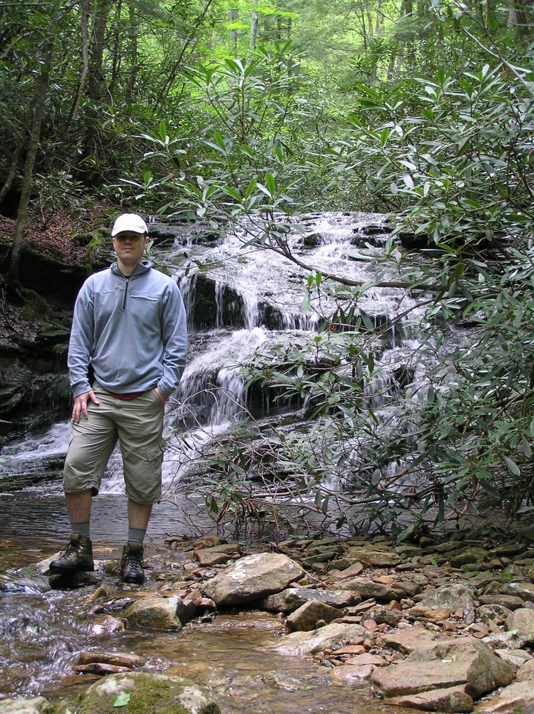
We left our car at the Condon Run parking area and hiked east / south-east on the Hendrick Camp Tr to it's junction with the Shaver Mt Tr. We proceeded north / north-east on Shaver Mt Tr, following the ridge line thru endless growths of ferns and tunnels of Rhododendrons. This trail is in great shape, and the switchbacks made the elevation changes easy. Soon, we descended the mountain west into Otter Creek via Mylius Trail. Otter Creek was high, so the ford at the end of Mylius Tr was interesting, but we made it across and over to Otter Creek Tr.
At this point, we left the loop part of the hike outlined by mrhyker and proceeded north on Otter Creek Tr. After fording the river one more time, we came to the junction with Moore Run and Possession Camp Tr, and continued north following Otter Creek. Even though our plan was to hike down and camp at Moore Run Falls, the next ford looked a little bit to high & dangerous for the wife & I, so we decided to spend the night at Possession Camp, a large grassy clearing. This was a great camping area, and we really enjoyed our stay there.
The next day, we backtracked south on Otter Creek Tr and followed it back to the car. Along the way, we ran into 2 Forest Service workers who were busy clearing the trail. They said that they had already cleared Shaver Mt Tr till it's junction with Mylius Tr, and were now working there way down stream on Otter Creek Tr. This made the rest of the hike out easy, even though Otter Creek Tr is very wet in places.
I would give this hike 5 out of 5 stars. The scenery was nice, especially along the creek. The trails were easy, with very moderate elevation changes. Using mrhyker's map and trail descriptions, I had no problem finding and staying on the trails, even though they are not signed or blazed in most places. You definitely need a good map & compass though. We plan on going back and exploring the rest of Otter Creek when the water is not so high.

No comments:
Post a Comment