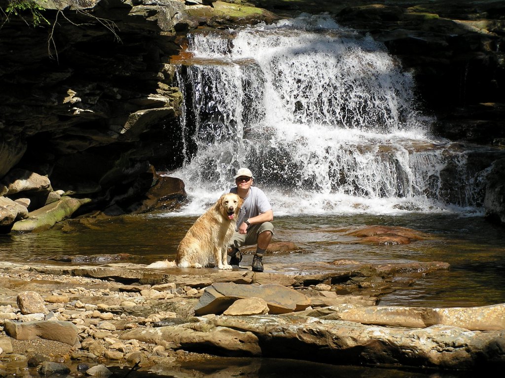
August 4-6, we headed back into Otter Creek Wilderness for a 16 mile Backpacking trip. We enjoyed ourselves so much the last time we visited this area, we just couldn’t resist exploring some more of it. We hiked a different route this time, so most of the area was new to us, with just a few miles of previously hiked trails. A map and description of the route we took can be found at
http://www.midatlantichikes.com/id142.html. Thanks once again to mrhyker for an excellent map and outline.
We grabbed our packs and hit the road Friday evening after work, arriving at the Mylius Trailhead by 7 PM. With just a few hours of daylight remaining, we set off up the trail. The first 1.5 miles of the hike is all up hill, with an elevation gain of 900 feet. But the trail has a moderate grade, cutting a diagonal path alongside and up the hill, making the climb rather easy. WARNING: The upper portion of Mylius trail is full of Stinging Nettles, so wear long pants or gaiters.
Once on top of the ridge, Mylius Tr intersects with Shaver’s Mt Tr. It was getting late, so we decided to find a place to camp. There is a fire ring at the intersection, but it is right on the trail, plus right on top of the ridge, with no water source close by. Also, if a thunderstorm decided to pop up during the middle of the night, the top of a ridge is the last place I want to be. On our previous trip into Otter Creek, I had noticed a nice campsite further down Mylius Tr, approximately half way down the ridge toward Otter Creek itself. It is located next to a small stream, and is a few feet up hill of the trail. Although this would cause us to have to backtrack in the morning, we made our way down Mylius Tr, hoping the stream next to the campsite would have water flowing through it.
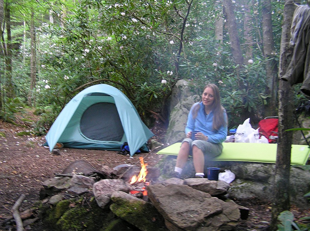
At 8:15, we made it to the campsite, and we were in luck. The stream had a nice flow of water. With daylight fading fast, we quickly setup camp. Previous campers had built what I would call a “sofa” out of rocks next to the fire ring, which proved to be quite comfortable. Now, you are probably thinking, how in the world can sitting on a rock be comfortable? Actually, it’s not that bad, and if we need a little more comfort, we can always drag out our Thermarest mattresses for a little extra cushion. After getting settled in, we built a small fire and roasted marshmallows, just relaxing the evening away and absorbing in nature at its finest.
The next day we backtracked up Mylius Tr, then headed NE on Shavers Mt Tr., gaining another 400 feet of elevation in about a mile or so before leveling off. Soon we came to a 4 way intersection, with Shaver’s Mt. Tr continuing straight. I dropped my pack and took the side trail to the left, which leads to a spring a few hundred yards slightly down hill. Unfortunately, the spring was dry, but we still had plenty of water left in our bottles. The side trail to the right leads to a campsite and the site of an old shelter that was removed several years ago by the NFS in keeping with wilderness regs. We decided not to explore this trail, and instead continued straight on Shavers Mt Tr.
Shavers Mt Trail eventually bends to the NW, and becomes Green Mt Trail. The interchange is not really obvious, marked only by a small cairn, and Shavers Mt Trail is not maintained beyond this point. Following Green Mt Tr, we eventually made it to a small clearing and the junction with Possession Camp Trail. Although we could have followed Possession Camp Trail down to Otter Creek at this point, and shortened our hike by about 3 miles, we decided to take the longer route and stay on Green Mt Trail. This would allow us to explore about 3 miles of Otter Creek that we hadn’t had a chance to see on our previous trip, due to high water. There is a small stream next to the clearing that had a good flow of water, so before setting off again down Green Mt, we decided to take a long break here and eat our lunch.
Soon after finding a suitable place to sit for our lunch break, Apollo decided to head down the stream to explore. While he is not the best behaved dog in the world, Apollo normally listens to my commands, but this time when I told him to come, he just ignored me. I always try to keep my voice level down while out in the wilderness so that I don’t disturb wildlife and other hikers, but at this point I was becoming angry at Apollo for not listening. I lost my patience and yelled at him and then went over to him and pulled him back to where we were sitting, all the while scolding him for not listening. Several minutes later, a young man walked into the clearing, coming from downstream, the same direction that Apollo was heading when I became angry. Apollo had noticed him, and was only on his way to greet the young man when I intervened. He informed us that he was leading a group of young people on a wilderness survival course, and that he was out scouting for water (They were camped at the “Green Mountain Overlook”). He said that he had heard our voices just as he was getting ready to wash in the stream, so he decided to walk over and let us know of his location and plans, so that we wouldn’t walk in on him in the middle of his bath. Off he went back downstream….
We took our time eating our lunch, and afterwards I refilled our water bottles. As we were preparing to leave, I caught movement out of the corner of my eye on the edge of the clearing. It was the young man again, returning from his bath, with nothing on but his birthday suit! I told my wife “don’t look now, that guy is walking toward us completely naked!” At the same time, he must have noticed that we were still in the area, because he quickly did an about face and headed back into the woods. A few minutes later, he returned to the clearing, fully clothed, exchanged a few more words with us, and headed on his way down Green Mt Trail. We decided that from here on end, this episode would be remembered as the “encounter with the naked dude”.
We waited awhile longer, giving “naked dude” a good start on us, then continued down Green Mt Tr in the same direction. The last mile of this trail becomes rather steep and rocky as it descends the valley to Otter Creek. Once at the bottom, we turned south onto Otter Creek trail, and walked only a few hundred feet before coming to our first stream crossing. We took a break here, letting Apollo take a swim and soaking our feet in the cool water before continuing upstream. The next 1.5 miles of the trail was rough, with some blow outs and dead falls that required a lot of scrambling and climbing around on our knees. Not an easy thing to do with heavy packs on. Eventually, we came to the confluence of Moore’s Run and some nice falls on Otter Creek.
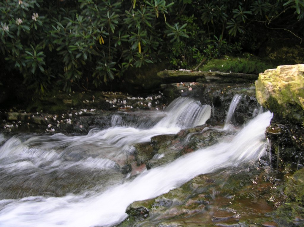
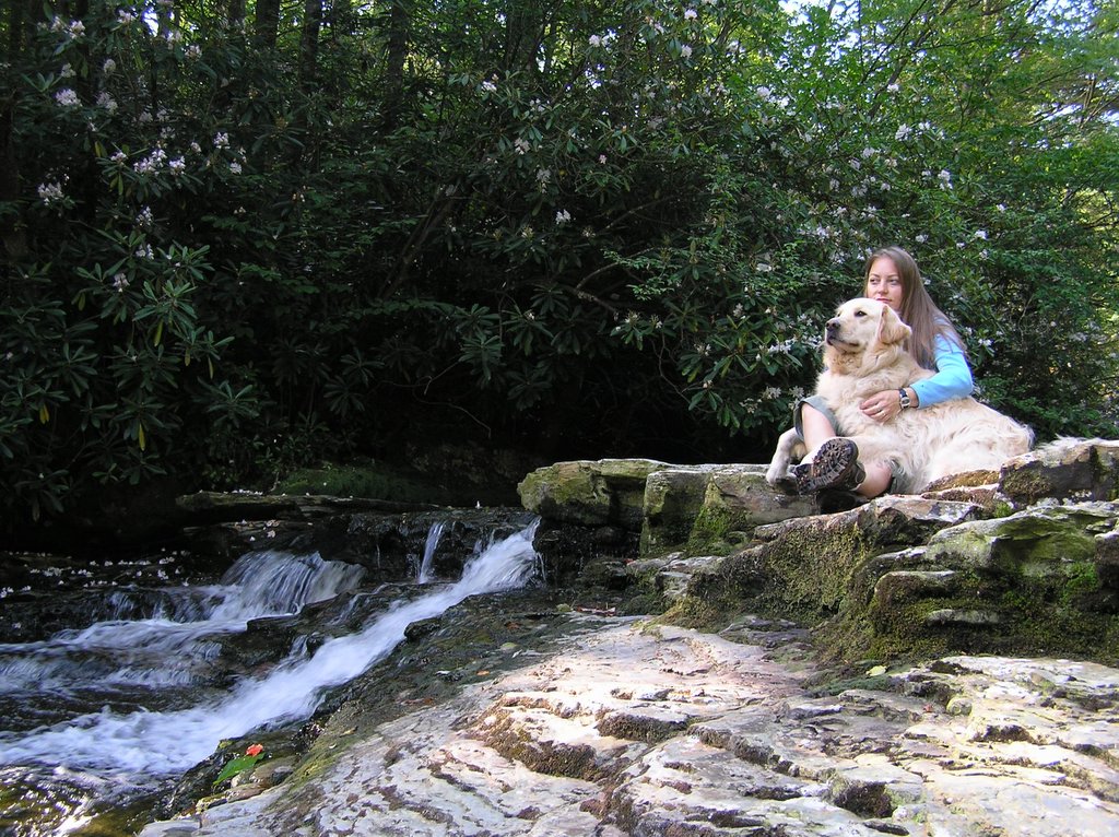
There are a couple of good campsites located here, so we decided to call it a day and stay here for the night. After setting up our tent under a large rhodo, we headed over to the waterfalls for a swim. The water was cool but felt refreshing after a long day of hiking. We splashed around in the deep water hole and took lots of pictures of each other lying at the base of the waterfall. This is a beautiful spot, even with the stream being low on water.
Back at camp, we changed into dry clothes and started a small fire. The humidity here was low, and the night air was quickly cooling down as the sun set. The fire ring at this campsite is located at the base of a large rock, so we spread out one of our thermarest pads on the rock and soaked up the warmth of the fire as we ate our supper and sipped on hot chocolate. Another great place to camp!
Sunday morning, we lounged around camp and visited the waterfalls again, reluctant to leave this beautiful area and hike back to civilization. We took our time packing up the gear, and finally got back on the trail by 11 AM. We only had about 4.5 miles to hike today, so we set a leisurely pace. Soon, we crossed Otter Creek again, bringing us to Possession Camp. From this point on, we were on trails that we had hiked either on our previous visit to the area or earlier in this hike. One of the fire pits at Possession Camp was full of garbage that some idiot was too lazy to pack out. I couldn’t bring myself to just leave it, so we filled up 2 plastic shopping bags and packed the trash out ourselves (well, everything except for a pair of wet & dirty socks and some potatoes!).
The rest of the hike was uneventful. We followed Otter Creek Tr upstream to Mylius Tr, which we took up and over Shaver’s Mt and down the other side, through the stinging nettles, and back to our awaiting vehicle. We were on the road home by 2:30.
Another great hike. 5 out of 5 stars, easily! The scenery along Otter Creek is hard to beat. The hike along Shaver’s Mt and Green Mt was very moderate except in a few areas. Once again, make sure you bring along a good topo map and compass, plus trail descriptions if possible. Some of the intersections would have been tricky without the trail descriptions provided by mrhyker, especially the Shaver’s Mt/Green Mt intersection (although if you do miss this intersection, you will still be on the right trail). Also, wear long pants on Mylius if possible. The nettles are very thick on the east side of Shavers Mt.

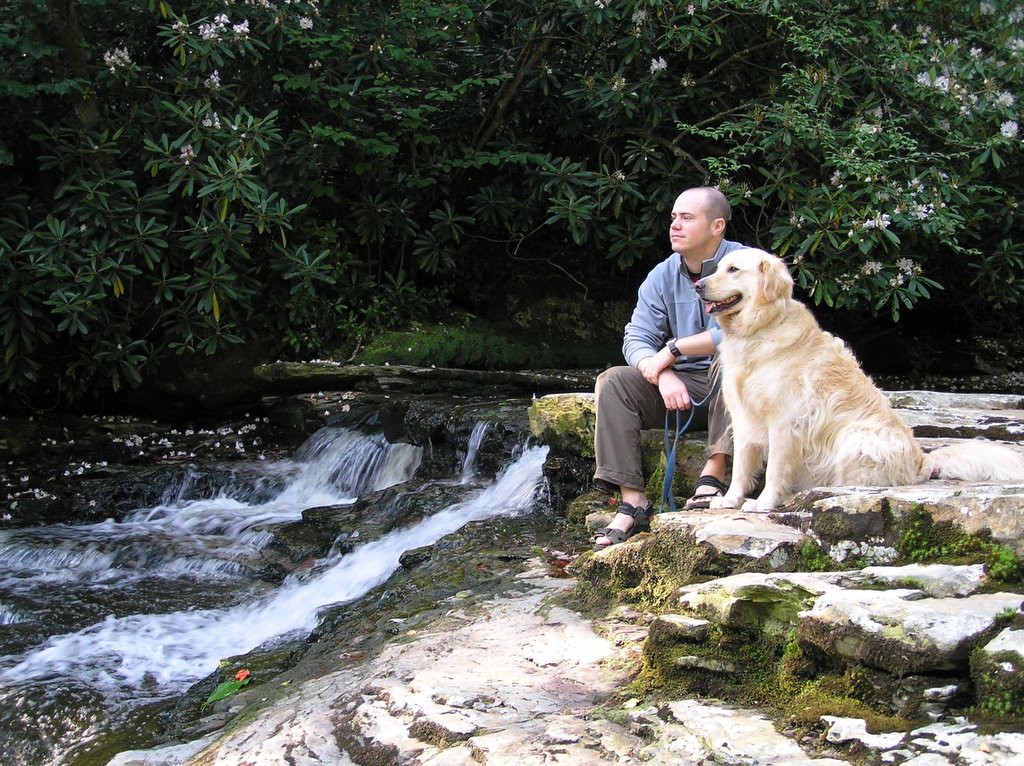

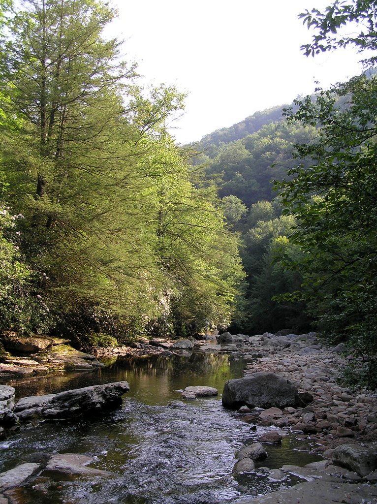 August 4-6, we headed back into Otter Creek Wilderness for a 16 mile Backpacking trip. We enjoyed ourselves so much the last time we visited this area, we just couldn’t resist exploring some more of it. We hiked a different route this time, so most of the area was new to us, with just a few miles of previously hiked trails. A map and description of the route we took can be found at http://www.midatlantichikes.com/id142.html. Thanks once again to mrhyker for an excellent map and outline.
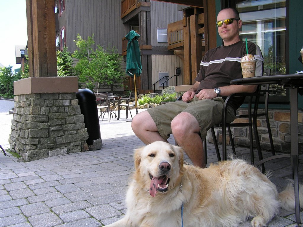 We stopped at Snowshoe on our way home from Lake Sherwood last weekend. The resort has really grown since the last time I was there. We sat outside of Starbucks and sipped ice coffee, enjoying the sun and the view. Apollo got alot of attention (he loves it) from the other resort visitors, including a couple of young kids who "had" to spend the summer at the resort because their father is a construction contractor working there. Imagine the luck! :)
 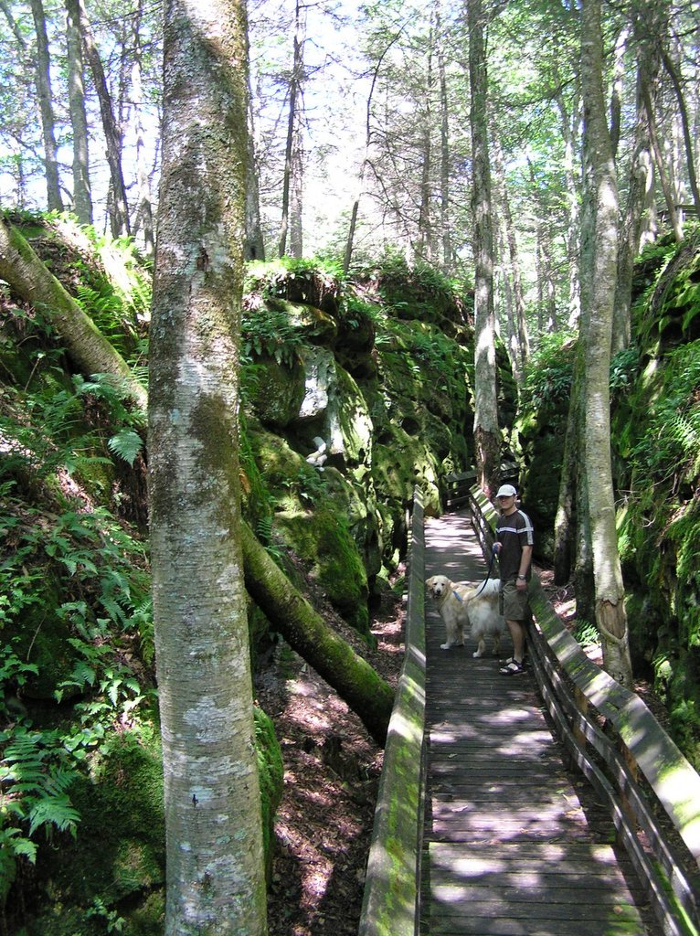 This tiny park, located a few miles south of Marlinton on Rt 219, has a .5 mile board walk that wanders over and amongst rock formations. We stopped here for a short break on our way home from Lake Sherwood. If you are ever in the area, this park is definetely worth a look.
  We took an extended 3 day weekend July 14-16 and went car camping in the Monongahela National Forest. We left after work on Thursday and camped at the newest of the Mon forest campgrounds, Seneca Shadows. Between Apollo being restless and the wild animal that visited us several times during the night (sounded like a cross between a deer snort and a wild cat screaming), we didn't sleep much, so we broke camp early and proceeded to drive south on Rt. 33. We took a quick break at Fraklin, which has some beautiful victorian era homes, then headed south on Rt 220 toward the Virginia border. We stopped at the towns of Monterey and Warm Springs in Virginia, which both have nice historical areas to visit, then proceeded west on Rt. 39 back toward the WV border. We plan on returning sometime soon to this part of Virginia and spending some time exploring the area.
 This was the view from our campsite along side of Dunkenbarger Run. This small brook is on top of the mountain, and the setting reminds me of a place in Canada that we used to visit when I was a kid.