

Log of our adventures (married couple, golden retreiver and cat) as we travel around the world. I am originally from WV, but we recently moved to my wife's hometown of Schliersee, Germany in the bavarian alps. We spend most of our free time hiking, skiing, mountain biking, and traveling.
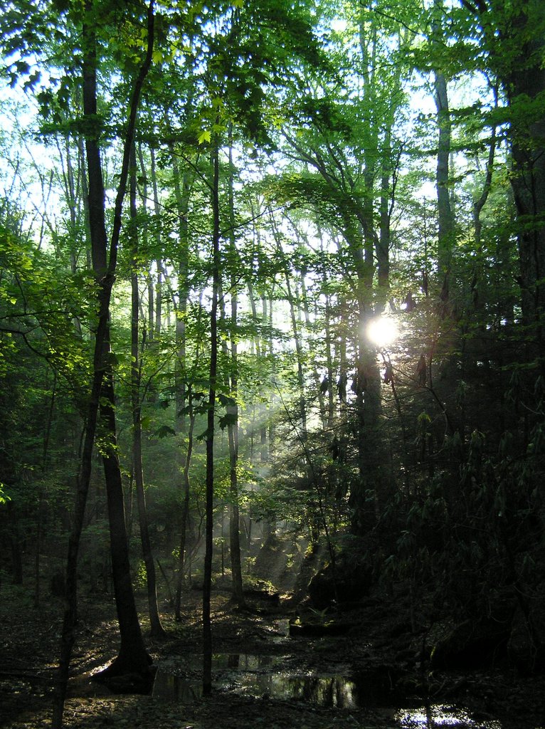
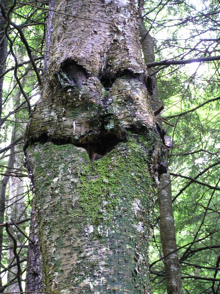 This photo was taken on the west side of Shaver Mt while descending Mylius Trail. Spooky face!
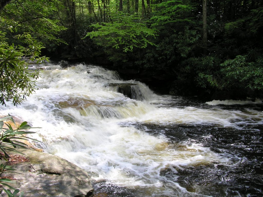
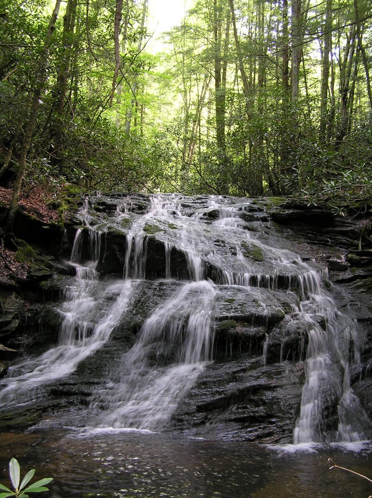 This photo was taken on the east side of the first ford of Otter Creek just north of the Mylius / Otter Creek Tr Junctions. It is an unnamed tributary that empties into Otter Creek just a few yard past this waterfall. It was sort of hidden and not visible from the main trail.
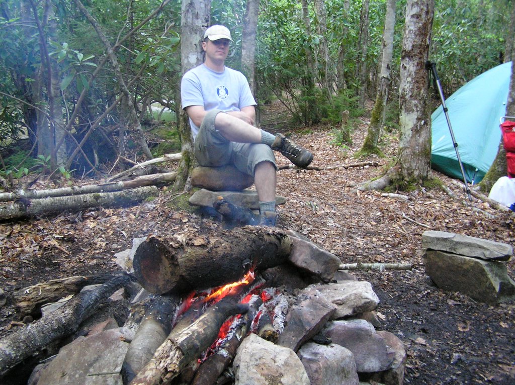
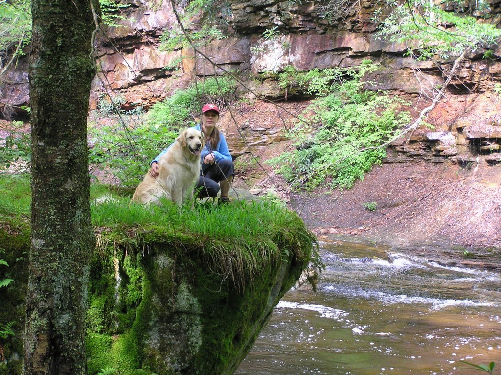
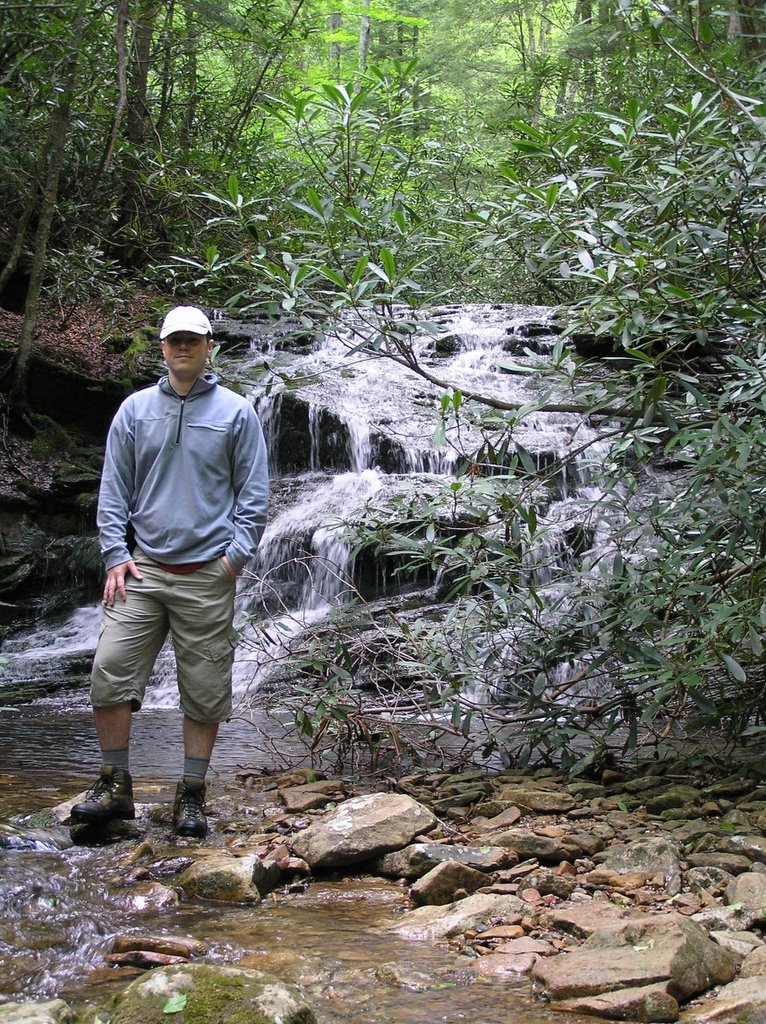 June 3-4, 2006. The wife, Apollo, and I backpacked into the Otter Creek Wilderness of WV over the weekend, spending 2 days & 1 night hiking a route outlined by mrhyker at midatlantichikes.com. A map & trail description can be found at http://mrhyker.tripod.com/ottercreek-se.htm .
 The old man kept up the whole 24 miles. In fact, I felt like I was slowing him up when my feet started bothering me. Pretty good for a 62 year old senior citizen carrying 30 pounds of gear!
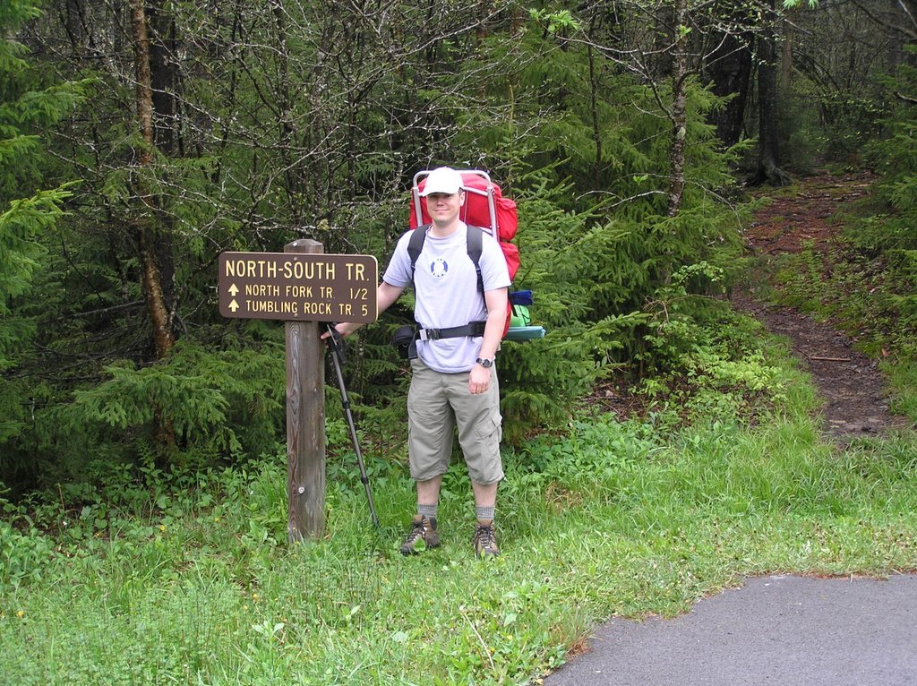 Last weekend my Dad & I spent 3 days & 2 nights backpacking in the Cranberry Wilderness of WV. We followed a route outlined by mrhyker of http://www.midatlantichikes.com. An outline and description of the route can be found at http://midatlantichikes.com/cranberry1.htm. We had a great time, with nice weather and moderate temperatures. We hiked 24 miles total, taking our time to enjoy the scenery and resting frequently. We camped the first night on the North Fork of the Cranberry just off the North Fork trail. The campsite we choose was approximately 1/3 of a mile NE of the Liming Station, and is marked on the trail map provided by mrhyker. One thing I would like to point out is that the trail sign marking the junction of the Forks Trail with the North Fork Trail is either missing or we passed it without noticing it. The North Fork Trail is in good condition most of the way, with only a couple of blowouts that caused the trail to be re-routed. All of these re-routes are easy to see and are marked clearly with cairns. Also, one ford of the North Fork river was required.
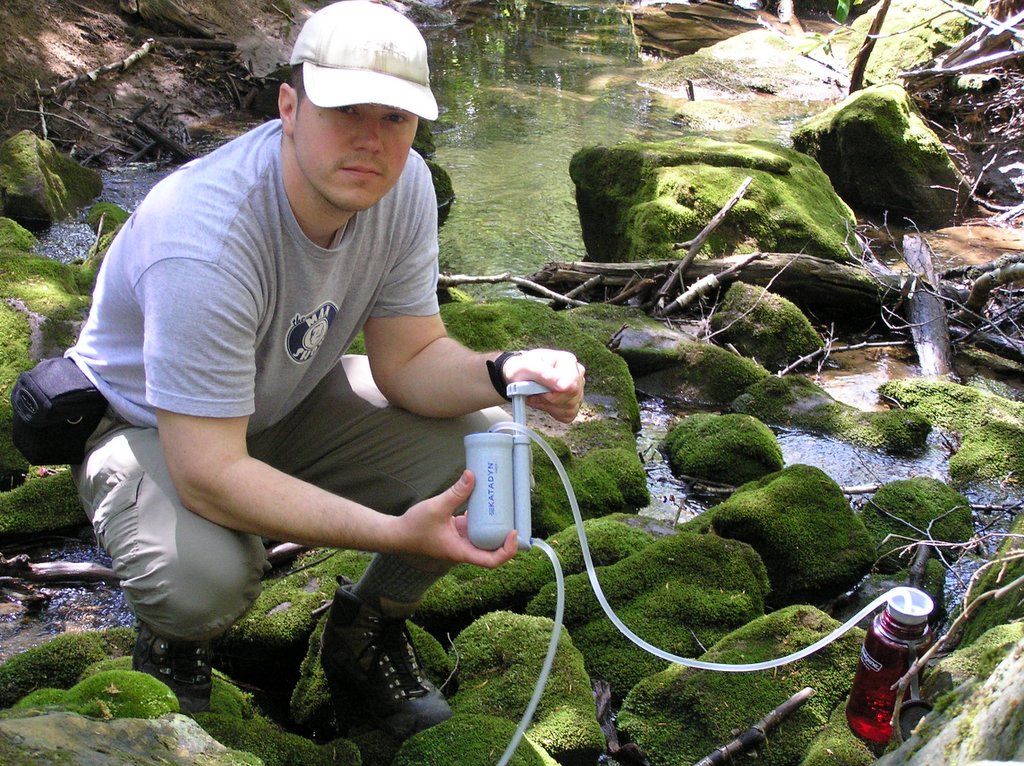 Katadyn Hiker Microfilter - Love it! Probably the best piece of gear I have bought so far. The pump action is easy to operate, it fills a 32oz. water bottle in around 1 minute, and the water tastes great. I had no problems with it clogging or getting harder to pump. I always made sure that the stream I was filling from was clear of dirt and made sure to keep the inlet tube off the bottom & out of the sand. When I returned home, I pumped water diluted with bleach through it and let it air dry. I am sure this little pump will be accompanying me on many future backpacking trips.
 I had the chance to try out all of my new backpacking gear last weekend. I will write a few comments on each item, describing my likes/dislikes of each.
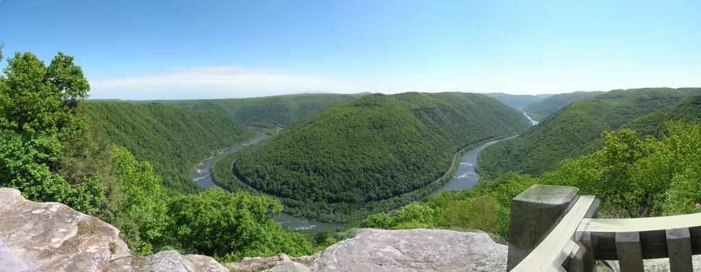 We were in Beckley, WV over the weekend for a friend's wedding, and decided to checkout some of the sites while in the area. This is a photo of the New River Gorge as seen from the main overlook at Grandview Park, once a state park but now part of the New River Gorge National River. We took a short hike below the rim of the Gorge which offered some amazing views of the river.