June 16-18, 2006. Apollo, my wife and I backpacked into the Dolly Sods Wilderness of WV a couple of weekends ago. We did the Red Creek / Dunkenbarger Loop that mrhyker has outlined on midatlantichikes.com. A map and complete trail description of the route can be found at
http://www.midatlantichikes.com/id62.html. Although I visited the Dolly Sods Scenic area when I was a child, this was my first trip into the Dolly Sods Wilderness.
We arrived at the Red Creek trailhead late Friday evening, and quickly set off up the trail with only a few hours of daylight remaining. Red Creek was very low during our visit, but I can easily see how it could become a raging river during times of heavy rainfall. It has a wide flood plain with huge rocks & boulders everywhere. We hiked up Red Creek trail for approximately 2 miles before deciding that we had better stop for the night. With only 30 minutes of light to spare, we had a nice camp site set up along side the creek, next to the junction with Big Stone Coal trail.
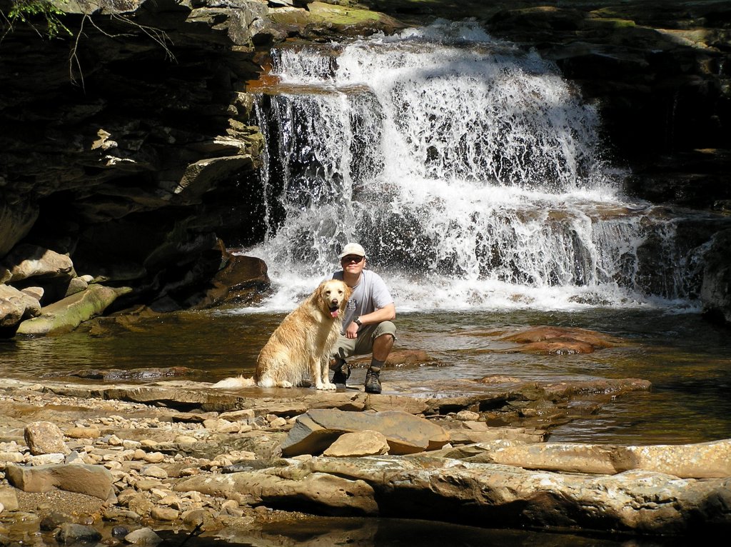
Saturday morning we got an early start and set off up Red Creek Tr once again. Soon after passing the Fisher Spring Run Trail junction, we came to our first stream crossing. Since we were making good time, we decided to not cross yet and explore further up Red Creek, as recommended by mrhyker. After passing several late rising campers and a small waterfall that spans the entire width of the stream, we came to one of the nicer waterfalls of the trip, just above the confluence of Fisher Spring Run. We took a nice break here, letting Apollo enjoy himself in the deep water hole just below the falls.
Afterwards, we backtracked and crossed Red Creek. At this point, the trail leaves the Creek and begins a steep ascent up Breathed Mountain. Aptly named, it quickly took my breath, but luckily the climb did not last long, and soon we came to the Rocky Point Trail junction. After another short break, we turned south onto Rocky Point Tr and started one of the rougher parts of the trip. Rocky Point Tr is also aptly named, with sharp pointed rocks sticking up out of the ground everywhere. The southern point of the trail is also fully exposed to the sun, giving us grand vistas of the Red Creek Valley, but also making it a very hot part of the hike. Soon Rocky Point Tr circled around the southern tip of Breathed Mt and started back north, once again entering the woods.
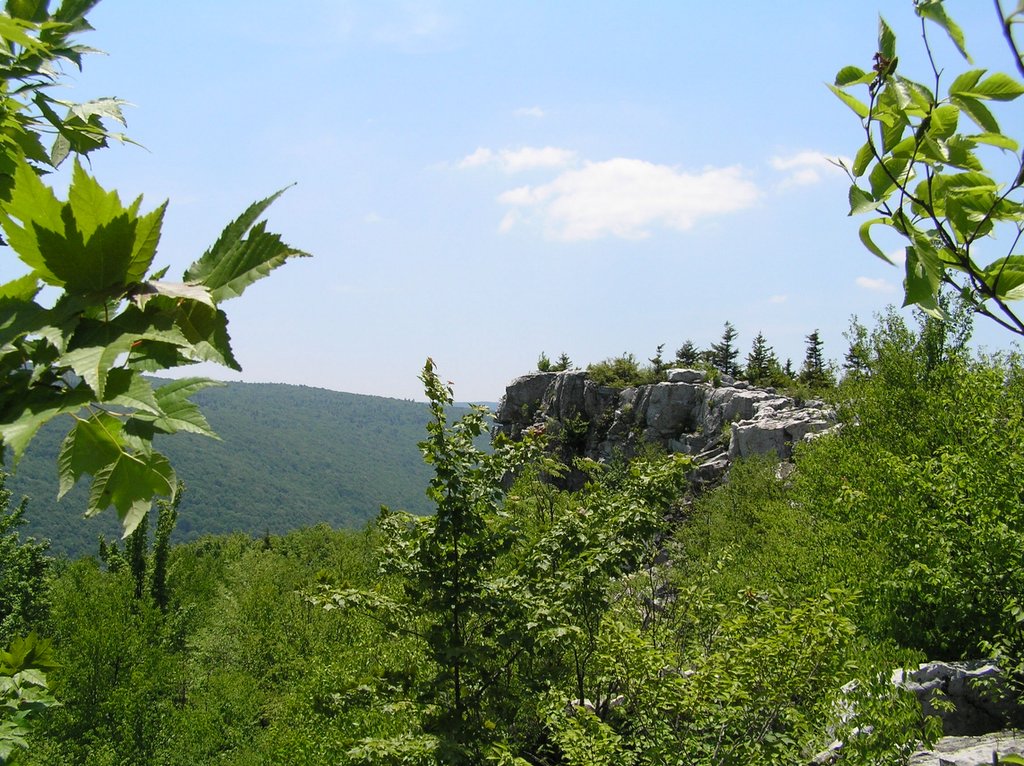
Since we were still making great time, we decided to head off trail and explore the Lions Head. Mrhyker describes one possible route that can be taken up to the Lions Head, but somehow we deviated off this course and ended up climbing up and over some good sized boulders and cliffs, but we soon made it to the top of Breathed Mt and started making our way south thought the dense undergrowth. And that’s when it happened. We encountered 3 snakes within a matter of a few minutes, so we decided that it would be prudent to leave this hot, rocky and brushy area and save the Lions Head for another day. I did manage to get a shot of what I believe is the Lions Head from a distance. We backtracked north and soon came to a large stand of pines. We stopped here and ate lunch, but didn’t stay long because of the heat and flies swarming on us.
We found our way back to Rocky Point Tr, and continued following it north. We took another break next to a very nice waterfall on Big Stone Coal Run, and I refilled our water bottles. After crossing Big Stone Coal, we soon came to Dunkenbarger Run Trail. We turned south-west onto Dunkenbarger, and followed this very wet and muddy trail for 1/3 of a mile before coming to Dunkenbarger Run. This is a small brook that seems a little out of place, since it is on top of the mountain. The setting reminded me a lot of a place we used to vacation at in Canada when I was a kid. We crossed and walked downstream 100 feet or so and set up an early camp just under a stand of spruce along side the stream.
This was an excellent place to camp, and we made a small fire and just relaxed the remainder of the afternoon away. We broke camp early the next morning and continued down Dunkenbarger Run. Soon, we linked up with Little Stone Coal Tr, which we followed the remainder of the way off the mountain, crossing Red Creek at the bottom, then backtracking down Red Creek Tr and to our vehicle. We were out of the woods and on the road by 10:00 am, and at Big Bear Campground by noon for a Fathers Day picnic with the rest of the family.
Overall, I would give this hike 4 out of 5 stars. I can’t say exactly why, but I didn’t enjoy it as much as some of the other hikes that I have been on in other wilderness areas. Maybe it was the amount of people that we encountered (around a dozen total I think). Red Creek is not as scenic as some rivers that I have seen, although the upper waterfalls were nice. Maybe if more water had been flowing at the time… The Lions Head is definitely a place best visited during the colder months when the snakes are not as active. It was still a great hike, and I plan on going back to explore the northern parts of the wilderness area and the remainder of Dolly Sods when I get a chance.

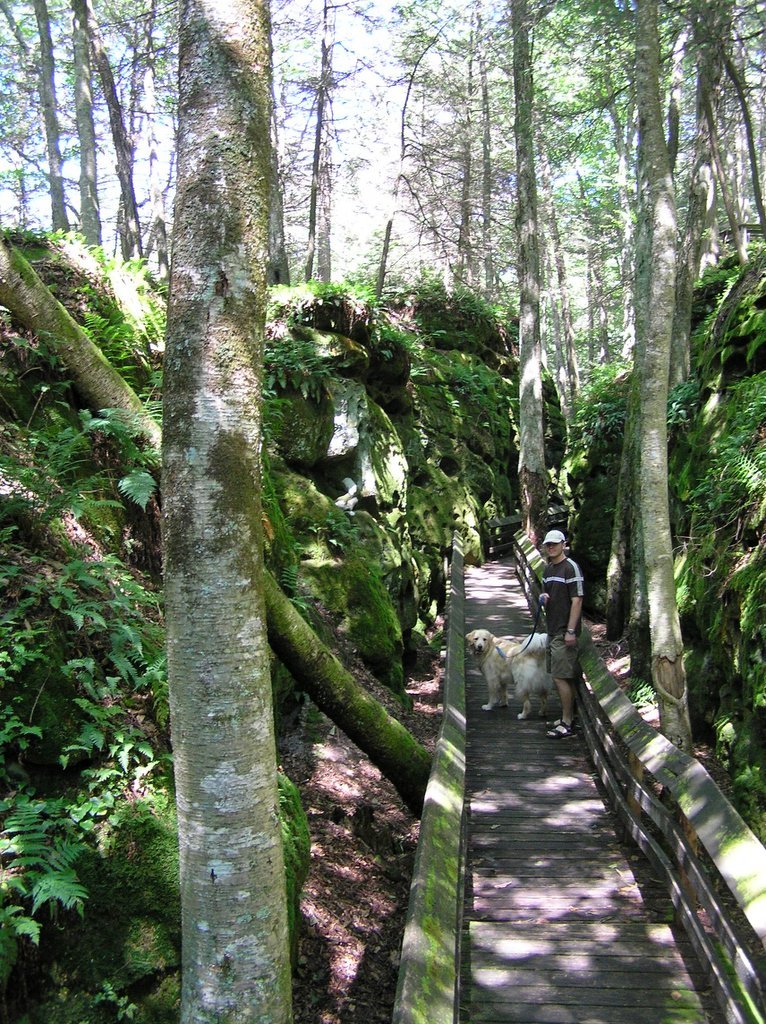
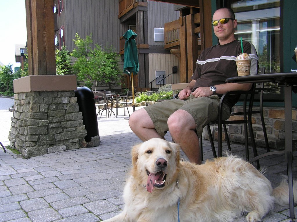 We stopped at Snowshoe on our way home from Lake Sherwood last weekend. The resort has really grown since the last time I was there. We sat outside of Starbucks and sipped ice coffee, enjoying the sun and the view. Apollo got alot of attention (he loves it) from the other resort visitors, including a couple of young kids who "had" to spend the summer at the resort because their father is a construction contractor working there. Imagine the luck! :)